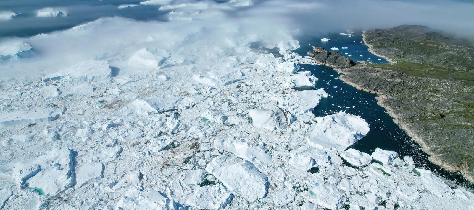
ICE FRONTIERS - is Greenland melting?
In order to find an answer to this, climate scientists are working flat out to gather all available data about the ice in Greenland: partly by comparing historical aerial photographs of Greenland’s glaciers with modern satellite images. Now high school pupils can also give the method a go.
ICE FRONTIERS enables students to go online to measure and compare Greenland’s glaciers both in the past and in the present. The material is targeted at high-school-level Geography.
ICE FRONTIERS is also available in an English version.
You can contact School Service on this form.
If you have technical questions, please contact Mediafarm at contact@mediafarm.dk or +45 32 13 46 09
- A measurement programme – an interactive, geographical information system (GIS)-like tool
- Films – for guidance and inspiration for using the material
- A teacher’s guide and inspirational teaching material
The measurement programme has been designed for PCs and Macs, and has been optimised for Chrome, Safari and Microsoft Edge.
ICE FRONTIERS is supported by Lundbeck fonden and Børne- og
Undervisningsministeriet.
Information for the Teacher
Here you can read more about the research, methods, data, and glaciers in ICE FRONTIERS.
This article reviews the research and measurement methods that scientists use to collect data on the Greenlandic glaciers and the Greenland Ice Sheet.
About the research and measurement methods in ICE FRONTIERS
This article describes the six glaciers included in the ICE FRONTIERS material and provides examples of datasets for each glacier.
About the glaciers in ICE FRONTIERS
Please note that the measurement program itself includes a step-by-step guide to help you get started.
The ICE FRONTIERS educational material is based on current climate research at the Section for GeoGenetics. Here, we have compiled background materials in the form of films and articles about the research.
The Greenland Ice Sheet is melting – has it always done that?
In the video, postdoc Anders Anker Bjørk discusses the research on the Greenland Ice Sheet, including how scientists use images and data from satellites.
Link to the video on youtube her. (In Danish)
Greenland Ice Sheet in Retreat
In special issue of Polarfronten, "Greenland at the Melting Point," you can read the article "Greenland Ice Sheet in Retreat" about how scientists use aerial photos, satellites, and unmanned monitoring stations in their work to map the ice's retreat. (In Danish)
The Greenland Ice Sheet - Past and Present
In special issue of Geoviden, "The Greenland Ice Sheet - Past and Present," you can read about how historical material from old expeditions can shed light on the past and present climate in Greenland. (in Danish)
